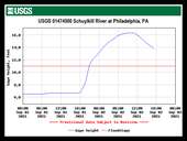
USGS flood level graph from the measuring station across from Boat House Row. Peaked at 16.35 feet on September 2, 2021 at 9:30am. This is the second highest river level ever measured. The higest was 17.00 feet on October 4, 1869.
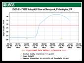
USGS flood level graph from the measuring station on Green Lane bridge. Peaked at 42.69 feet at 8:15am. The gage is only a few years old so we don't have historical river crest data.
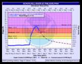
National Hydrologic Prediction Service page for the Schuylkill River at Boat House Row. Records flood levels along with predictions. In my experience the predictions are always high and must be taken with a grain of salt. It's more accurate to look at the curve from the graphs and you can anticipate when it will start to flatten out.
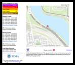
Table of historic flood crests as well as a map of the location of the gage.
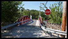
Fountain Street Steps and Flat Rock Road
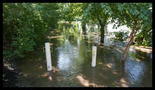
Fountain Street Steps and Flat Rock Road -- The canal path is down there somewhere.
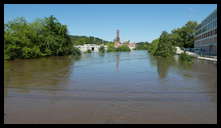
Fountain Street Steps and Flat Rock Road -- Old paper mill
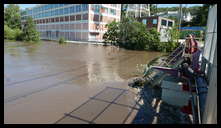
Fountain Street Steps and Flat Rock Road -- Look back at the storage place and bridge over the canal.
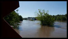
Fountain Street Steps and Flat Rock Road -- View towards Venice Lofts
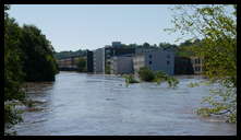
Fountain Street Steps and Flat Rock Road -- View towards Venice Lofts
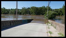
Fountain Street Steps and Flat Rock Road
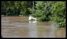
Fountain Street Steps and Flat Rock Road
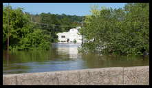
Fountain Street Steps and Flat Rock Road
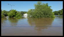
Fountain Street Steps and Flat Rock Road
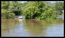
Fountain Street Steps and Flat Rock Road
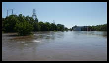
Fountain Street Steps and Flat Rock Road -- View towards Venice Lofts
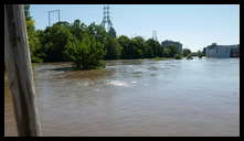
Fountain Street Steps and Flat Rock Road -- View towards Venice Lofts
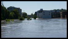
Fountain Street Steps and Flat Rock Road -- View towards Venice Lofts
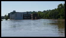
Fountain Street Steps and Flat Rock Road -- View towards Venice Lofts
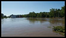
Fountain Street Steps and Flat Rock Road -- View towards Venice Lofts
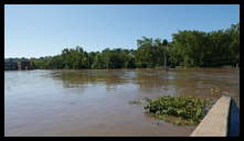
Fountain Street Steps and Flat Rock Road
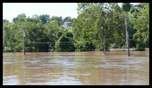
Fountain Street Steps and Flat Rock Road
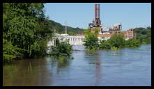
Fountain Street Steps and Flat Rock Road -- Old paper mill
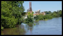
Fountain Street Steps and Flat Rock Road -- Old paper mill
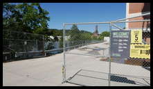
Fountain Street Steps and Flat Rock Road
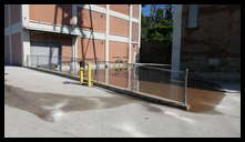
Fountain Street Steps and Flat Rock Road -- That's the river level. Water is coming up through a drain.
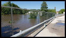
Fountain Street Steps and Flat Rock Road
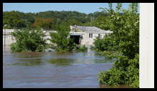
Fountain Street Steps and Flat Rock Road -- Old paper mill
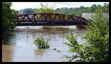
Fountain Street Steps and Flat Rock Road
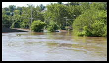
Fountain Street Steps and Flat Rock Road
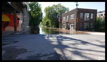
Leverington and Main -- First time for water at this location.
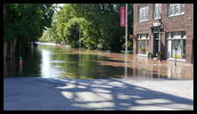
Leverington and Main -- First time for water at this location.
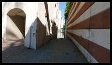
Leverington and Main -- Flooded car in Watermill parking lot
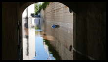
Leverington and Main -- Flooded car in Watermill parking lot
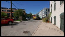
Leverington and Main
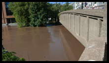
Leverington and Main -- The Locks development
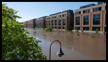
Leverington and Main -- The Locks development
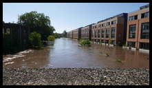
Leverington and Main -- The Locks development
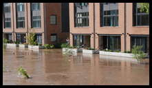
Leverington and Main -- The Locks development
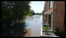
Leverington and Main -- The Locks development
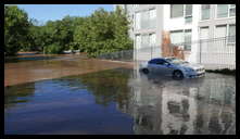
Leverington and Flat Rock Road -- Flooded car
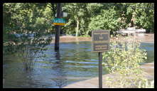
Leverington and Flat Rock Road -- There is a parking lot behind the building top sticking up. Hope they got all the cars out.
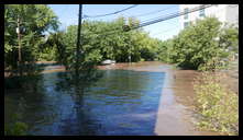
Leverington and Flat Rock Road -- There is a parking lot behind the building top sticking up. Hope they got all the cars out.
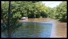
Leverington and Flat Rock Road -- There is a parking lot behind the building top sticking up. Hope they got all the cars out.
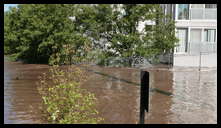
Leverington and Flat Rock Road -- Venice Lofts parking lot. Yes there is a parking lot under that building. Hope the got all the cars out.
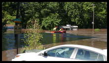
Leverington and Flat Rock Road -- Rescue workers packing it in.
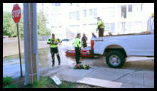
Leverington and Flat Rock Road -- Rescue workers packing it in.
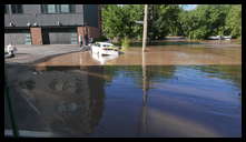
The Locks development -- Flooded car blocking the entrance.
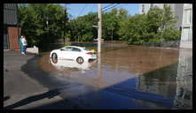
The Locks development -- Flooded car blocking the entrance.
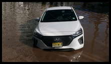
The Locks development -- Flooded car blocking the entrance.
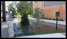
The Locks development -- Flood emergency egress. Just made it.
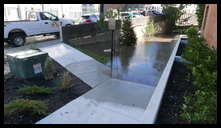
The Locks development -- Flood emergency egress. Just made it.
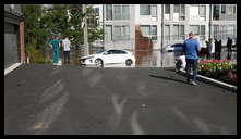
The Locks development
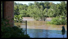
The Locks development -- River behind houses
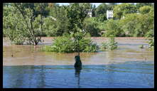
The Locks development -- River behind houses
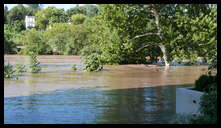
The Locks development -- River behind houses
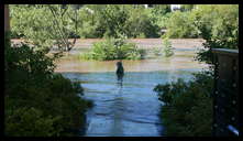
The Locks development -- River behind houses
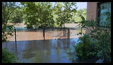
The Locks development -- River behind houses
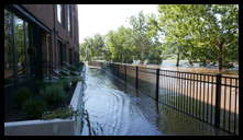
The Locks development -- River behind houses
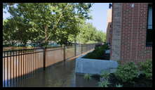
The Locks development -- River behind houses
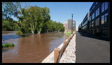
The Locks development

Green Lane bridge from The Locks
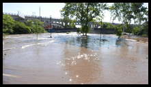
Green Lane bridge from The Locks
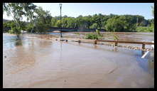
Green Lane bridge from The Locks
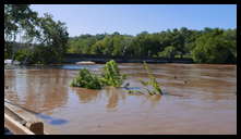
Green Lane bridge from The Locks
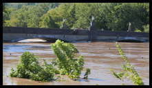
Green Lane bridge from The Locks
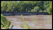
Green Lane bridge from The Locks
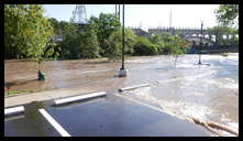
Green Lane bridge from The Locks
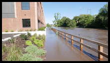
Manayunk Canal behind houses
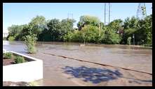
Manayunk Canal behind houses
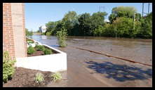
Manayunk Canal behind houses
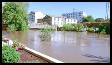
Manayunk Canal behind houses and Watermill development.
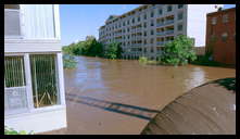
Venice Lofts and the Canal
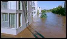
Venice Lofts and the Canal -- There's a parking lot under the building. I usually get pictures of flooded cars but now the garage is completely covered.
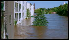
Venice Lofts and the Canal -- There's a parking lot under the building. I usually get pictures of flooded cars but now the garage is completely covered.
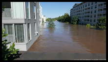
Venice Lofts and the Canal -- There's a parking lot under the building. I usually get pictures of flooded cars but now the garage is completely covered.
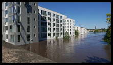
Venice Lofts and the Canal -- There's a parking lot under the building. I usually get pictures of flooded cars but now the garage is completely covered.
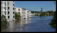
Venice Lofts and the Canal -- There's a parking lot under the building. I usually get pictures of flooded cars but now the garage is completely covered.
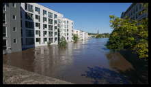
Venice Lofts and the Canal -- There's a parking lot under the building. I usually get pictures of flooded cars but now the garage is completely covered.
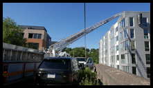
Venice Lofts
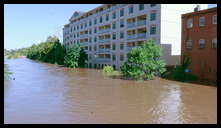
Watermill Condos -- There's a parking lot under there too
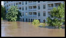
Watermill Condos -- There's a parking lot under there too
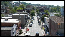
Views from the Manayunk Bridge -- Main Street
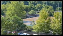
Views from the Manayunk Bridge -- Green Lane bridge
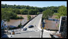
Views from the Manayunk Bridge -- Green Lane bridge
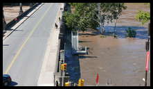
Views from the Manayunk Bridge -- Green Lane bridge
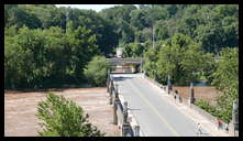
Views from the Manayunk Bridge -- Green Lane bridge
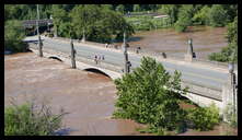
Views from the Manayunk Bridge -- Green Lane bridge
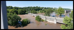
Views from the Manayunk Bridge -- The Locks
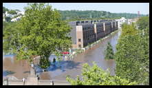
Views from the Manayunk Bridge -- Main Street parking lot
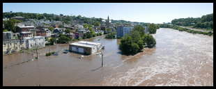
Views from the Manayunk Bridge -- Main Street parking lot
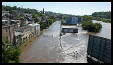
Views from the Manayunk Bridge -- Main Street parking lot
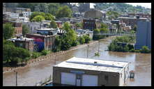
Views from the Manayunk Bridge -- Main Street parking lot
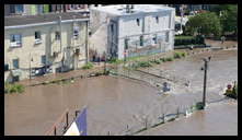
Views from the Manayunk Bridge -- Main Street parking lot
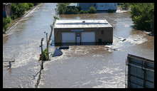
Views from the Manayunk Bridge -- Main Street parking lot. More flooded cars.
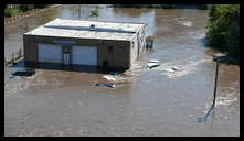
Views from the Manayunk Bridge -- Main Street parking lot. More flooded cars.
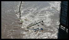
Views from the Manayunk Bridge -- Main Street parking lot
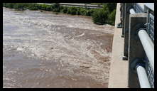
Views from the Manayunk Bridge -- Water rushing under the bridge
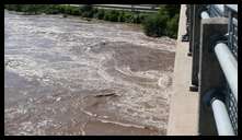
Views from the Manayunk Bridge -- Water rushing under the bridge
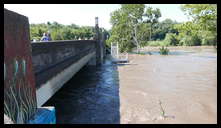
Views from the Green Lane bridge -- Manayunk canal and pedestrian staircase from The Locks (Yes, it's not connected to the bridge yet. They are still working on that).
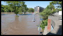
Views from the Green Lane bridge -- The Locks
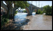
Views from the Green Lane bridge -- The Manayunk Bridge
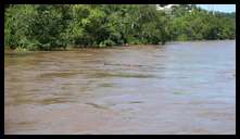
Views from the Green Lane bridge -- Log coming down the river. Fast moving water.
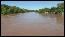
Views from the Green Lane bridge -- View up river
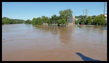
Views from the Green Lane bridge -- View up river. The Locks.
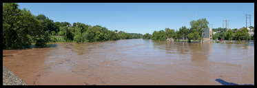
Views from the Green Lane bridge -- View up river
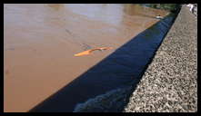
Views from the Green Lane bridge
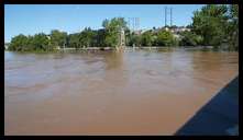
Views from the Green Lane bridge -- Fast moving water.
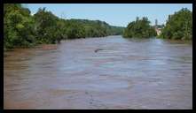
Views from the Green Lane bridge -- Log coming down the river. Fast moving water.
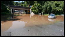
Views from the Green Lane bridge -- Montgomery County side of the bridge. Northbound exit and Southbound Entrance to the Schyulkill Expressway (78) flooded.
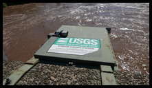
Views from the Green Lane bridge -- This is where the magic happens. Flood crest of 42.61 feet on September 2, 2021 at 9:00 am
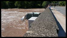
Views from the Green Lane bridge -- Side view of measuring device.
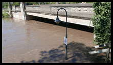
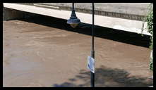
Manayunk Canal and Green Lane Bridge.
Manayunk Canal and Green Lane Bridge. "TRAIL TO - Main Street; Conshohocken, Norristown, Valley Forge, Phonixville, Pottstown.
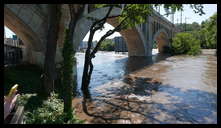
Manayunk Bridge
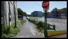
Carson Street foot bridge and the Manayunk Canal
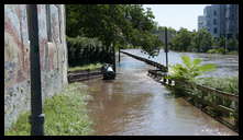
Carson Street foot bridge and the Manayunk Canal
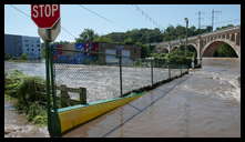
Carson Street foot bridge and the Manayunk Canal
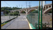
Carson Street foot bridge and the Manayunk Canal
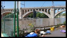
Carson Street foot bridge and the Manayunk Canal
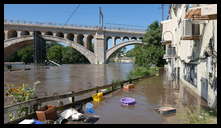
Carson Street foot bridge and the Manayunk Canal
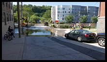
Cotton Street and the canal
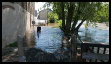
Cotton Street and the canal -- Tow Path
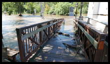
Cotton Street and the canal -- Pedestrian bridge over the canal.
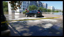
Cotton Street and the canal -- The Isle. There's a parking lot under there. Hope the got all the cars out.
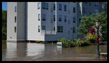
Cotton Street and the canal -- The Isle. There's a parking lot under there. Hope the got all the cars out.
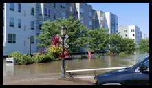
Cotton Street and the canal -- The Isle. There's a parking lot under there. Hope the got all the cars out.
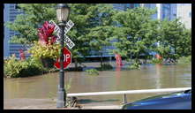
Cotton Street and the canal -- The Isle. There's a parking lot under there. Hope the got all the cars out.
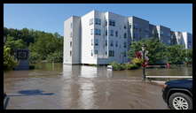
Cotton Street and the canal -- The Isle. There's a parking lot under there. Hope the got all the cars out.
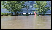
Cotton Street and the canal -- The Isle. A little bit of daylight under the building.
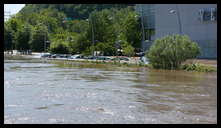
Cotton Street and the canal -- Flooded cars in the Rec Center parking lot
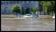
Cotton Street and the canal -- Flooded cars in the Rec Center parking lot
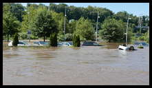
Cotton Street and the canal -- Flooded cars in the Rec Center parking lot
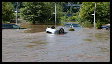
Cotton Street and the canal -- Flooded cars in the Rec Center parking lot
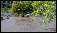
Cotton Street and the canal -- Flooded cars in the Rec Center parking lot
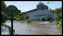
Rector Street and the canal -- VI Rec Center and flooded cars.
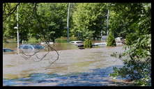
Rector Street and the canal -- VI Rec Center and flooded cars.
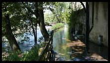
Rector Street and the canal -- Tow path looking north towards Cotton Street.
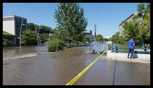
Lock Street and the canal -- PWD pumping and VI Rec Center.
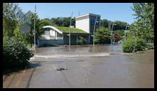
Lock Street and the canal -- PWD pumping station.
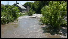
Lock Street and the canal -- Lower canal locks
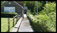
Lock Street and the canal -- Back entrance to Manayunk Brewing Company
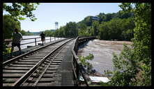
Blackies Bridge -- Bridge looks a little sketchy if something big comes down.
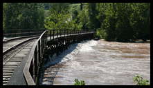
Blackies Bridge -- Bridge looks a little sketchy if something big comes down. You can feel it vibrating.
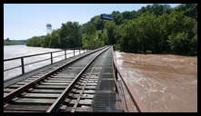
Blackies Bridge
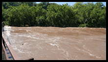
Blackies Bridge
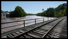
Blackies Bridge -- Downstream view.

Blackies Bridge -- Back of Manayunk Brewing Company. Record flooding
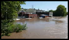
Blackies Bridge -- Back of Manayunk Brewing Company. Record flooding
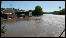
Blackies Bridge -- Back of Manayunk Brewing Company. Record flooding
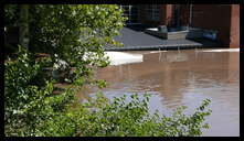
Blackies Bridge -- Back of Manayunk Brewing Company. Record flooding
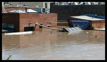
Blackies Bridge -- Back of Manayunk Brewing Company. Record flooding
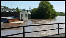
Blackies Bridge -- Back of Manayunk Brewing Company. Record flooding
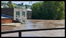
Blackies Bridge -- Back of Manayunk Brewing Company. Record flooding
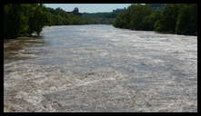
Blackies Bridge -- Downstream view.
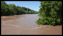
Blackies Bridge -- Upstream view.
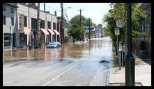
Jamestown looking towards Shurs -- Flooded cars
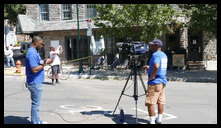
Jamestown looking towards Shurs -- ABC News crew
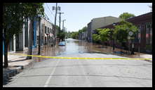
Jamestown looking towards Shurs
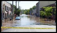
Jamestown looking towards Shurs
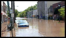
Jamestown looking towards Shurs
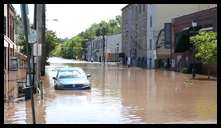
Jamestown looking towards Shurs -- Water rushing onto Main at Shurs
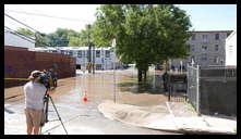
Station and Shurs looking towards Shurs and Main
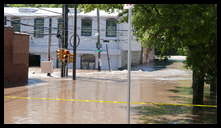
Station and Shurs looking towards Shurs and Main -- And they want to put apartments in that building?
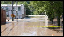
Station and Shurs looking towards Shurs and Main -- And they want to put apartments in that building?
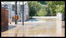
Station and Shurs looking towards Shurs and Main -- And they want to put apartments in that building?
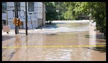
Station and Shurs looking towards Shurs and Main -- Water rushing onto Main Street
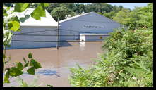
Trans American from 3811 Main Street
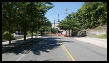
Southern limit of flooding on Main Street -- Water has been receding. Debris line on Main Street.
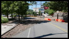
Southern limit of flooding on Main Street
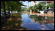
Southern limit of flooding on Main Street -- Flooded cars in the theater parking lot.
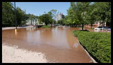
Southern limit of flooding on Main Street -- Flooded cars in the theater parking lot.
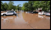
Southern limit of flooding on Main Street -- Flooded cars in the theater parking lot.
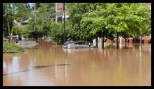
Southern limit of flooding on Main Street -- Flooded cars in the theater parking lot.
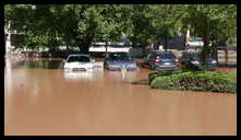
Southern limit of flooding on Main Street -- Flooded cars in the theater parking lot.
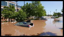
Southern limit of flooding on Main Street -- Flooded cars in the theater parking lot
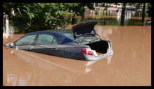
Southern limit of flooding on Main Street -- Flooded cars in the theater parking lot
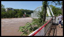
Southern limit of flooding on Main Street -- Bridge to The Royal Athena -- Closed.
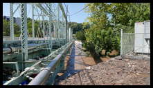
Southern limit of flooding on Main Street -- Bridge to The Royal Athena -- Closed.
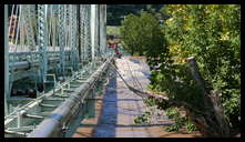
Southern limit of flooding on Main Street -- Bridge to The Royal Athena -- Closed.
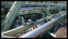
Southern limit of flooding on Main Street -- Bridge to The Royal Athena -- Closed.
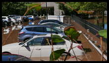
Southern limit of flooding on Main Street -- Flooded cars in the Bridge Five parking lot.
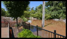
Southern limit of flooding on Main Street -- Flooded cars in the Yarn Factory Lofts (Wilde Yarn) parking lot.
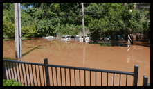
Southern limit of flooding on Main Street -- Flooded cars in the Yarn Factory Lofts (Wilde Yarn) parking lot.
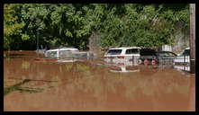
Southern limit of flooding on Main Street -- Flooded cars in the Yarn Factory Lofts (Wilde Yarn) parking lot.
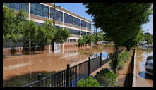
Southern limit of flooding on Main Street -- Yarn Factory Lofts (Wilde Yarn)
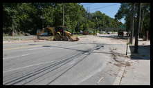
Wissahickon Creek and Ridge Ave (Wissahickon Transfer) -- Debris from Wissahickon Creek overflowing it's banks and over topping the bridge.
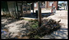
Wissahickon Creek and Ridge Ave (Wissahickon Transfer) -- Debris from Wissahickon Creek overflowing it's banks and over topping the bridge.
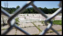
Wissahickon Creek and Ridge Ave (Wissahickon Transfer) -- New Wissahickon Transfer site is dry.
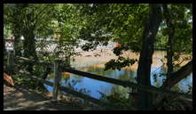
Wissahickon Creek and Ridge Ave (Wissahickon Transfer) -- Debris by bridge
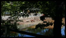
Wissahickon Creek and Ridge Ave (Wissahickon Transfer) -- Debris by bridge
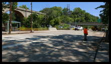
Wissahickon Creek and Ridge Ave (Wissahickon Transfer) -- Debris damaged the railing which is being repaired.
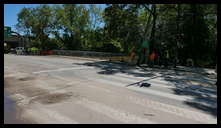
Wissahickon Creek and Ridge Ave (Wissahickon Transfer) -- Debris damaged the railing which is being repaired.
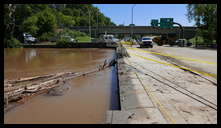
Wissahickon Creek and Ridge Ave (Wissahickon Transfer) -- Debris damaged the railing which is being repaired.
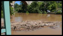
Wissahickon Creek and Ridge Ave (Wissahickon Transfer) -- Debris damaged the railing which is being repaired.
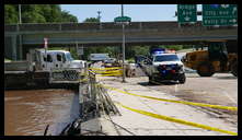
Wissahickon Creek and Ridge Ave (Wissahickon Transfer) -- Debris damaged the railing which is being repaired.
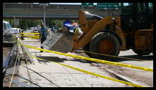
Wissahickon Creek and Ridge Ave (Wissahickon Transfer) -- Debris damaged the railing which is being repaired.